Posts Tagged With 'conflation'
Introduction
The majority of main roads (classified as motorways and primary roads)
are already present in OpenStreetMap (OSM) for a lot of countries. The primary
roads of Europe, Asia and Americas are likely to be fully covered.
But a multitude of the last mile roads are still missing. Roads such …
Continue reading »
Around March 2019 I started work to import a large chunk of open data into
Openstreetmap. Specifically, to improve the landcover coverage of Sweden. Mostly
it concerned areas and features of forest, farmland, wetland, and highland marshes.
This post continues and somewhat concludes the series of thoughts I’ve
documented …
Continue reading »
Det tog mig nästan två månader att slutföra NMD2018-dataimporten för Åre kommun.
Importen bestod av hundratals rutor 0,1×0,1 grader var [1].
Så här såg OSM-datat för kommunen före importprocessen:
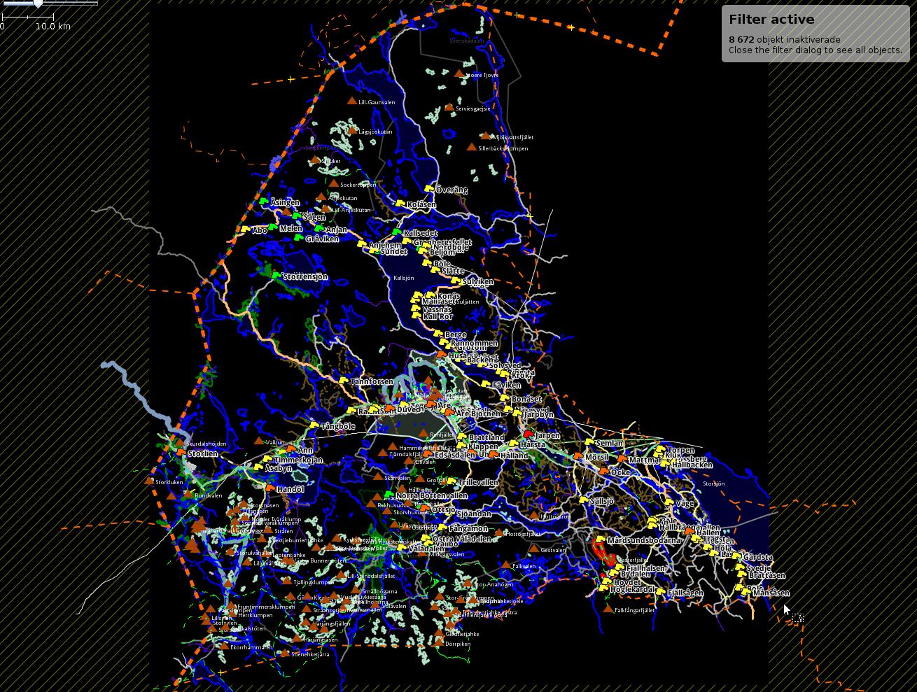
Inte mycket markanvändning fanns före.
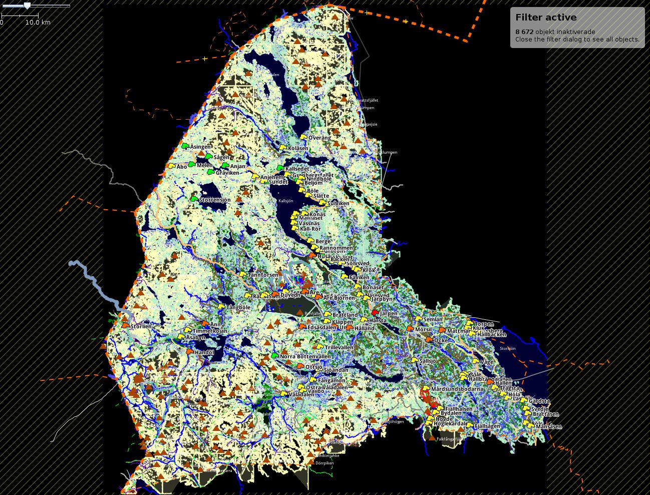
Nu ser området så här ut efter [2]:
Vad gick bra
- Importen …
Continue reading »
This post continues where the previous one
left off.
After some time spent on processing and importing land cover data, I have
several ideas on how to further improve and streamline both the import process
and in general work with land cover features in JOSM.
Continue reading »
This is the third part of summarizing my experience with conflation
of land cover data for Sweden. More examples of practical problems and ways to
address them follow.
The same or similar problems may or may not arise during
other imports of closed (multi)polygons in the future, so tips …
Continue reading »
The whole premise of the land cover import for Sweden [1] bases on the idea to
take the raster map of land cover and to covert it into the OSM format. This
results in new map features that are essentially closed (multi)polygons and tags.
These new features are then …
Continue reading »
Land cover geographic data is what is mostly represented as landuse=* in
the OSM database. Other tagging schemes e.g. landcover=* also exist.
During the ongoing land cover import for Sweden [1] I learned several things that
were not documented anywhere in the OSM wiki or elsewhere, as far as …
Continue reading »